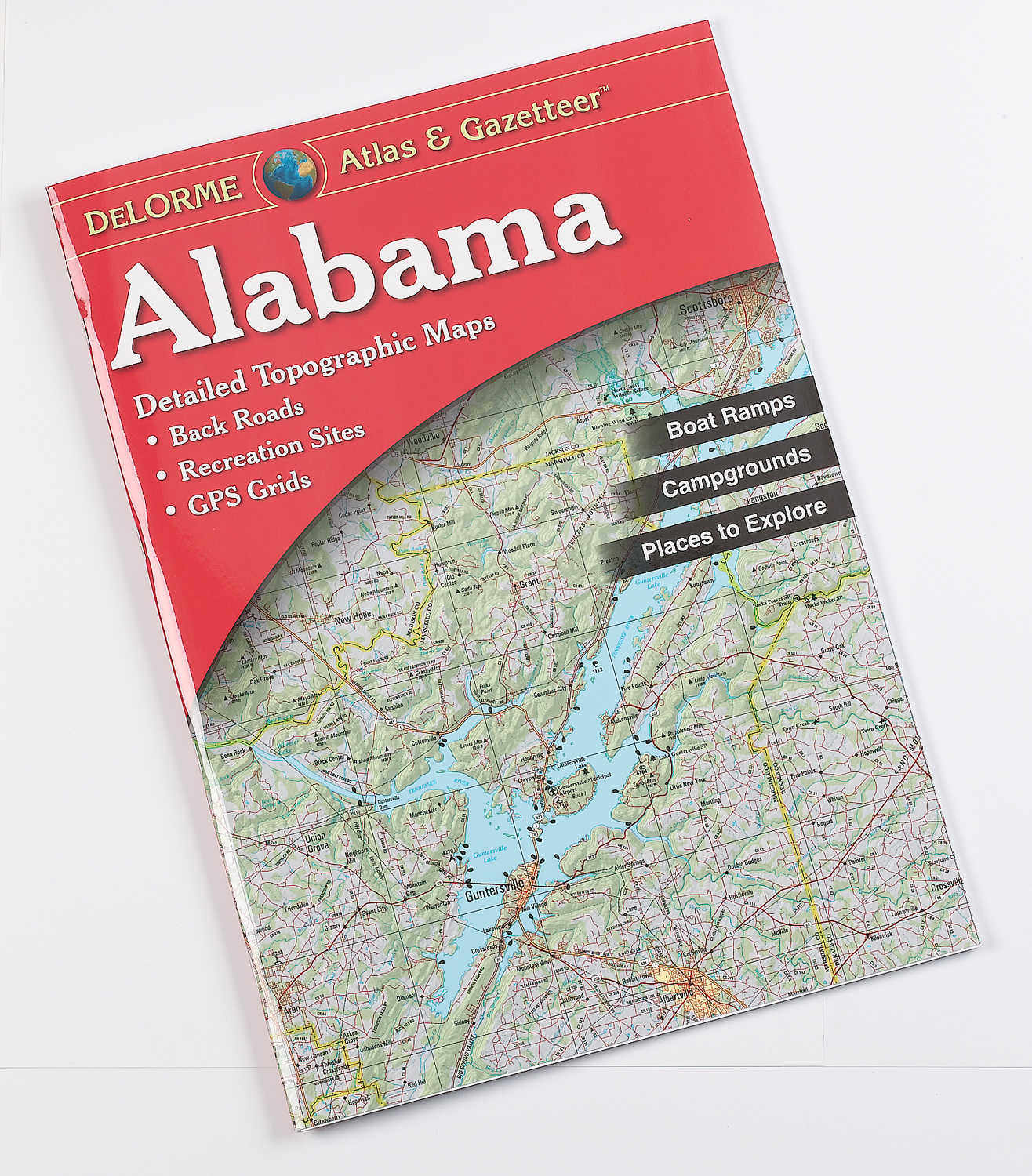
DeLorme® Atlases
Including comprehensive state details.
Description
DeLorme Topographic Atlas, Oregon
These 11” x 15-1/2” paperback atlases cover individual states in their entirety. Atlases come with full-color topographic maps. Scale: 1” to 2.4 miles, except for mountain states, including Montana, that are all 1” to 4 miles except Colorado; Texas is 1” to 6.3 miles; New Hampshire/Vermont scale is 1” to 1.74 miles. Atlases identify back roads, dirt roads, trails, lakes, streams, public lands, forests, wetlands, and also locate boat ramps, campgrounds, campsites, railroads, airfields, and powerlines. Includes an index of place names from major cities to country crossroads.
Have A Question?
Quick Specs
| Brand | DeLorme |
| MPN | 010-13226-RG |
| UPC | 019916003470 |
| UNSPSC | 44111800 |
| Made In | United States |
Quick Specs
Have a question about this product?
- What year was this Pennsylvania map book published?
- Copyright on the Pennsylvania Atlas is 2024.
Reviews
I purchased this product on a trip to Maine in '85. it was the best thing we could have done for trip planning. everything is cross referenced, ie, campgrounds, boat launches, hiking trails, beaches, etc. and containing excellent descriptions and referenced to a map page and grid square. As a land surveyor the maps were laid out very similar to a topographic map and extremely intuitive. a fantastic product.

