Description
Garmin GPSMAP 67
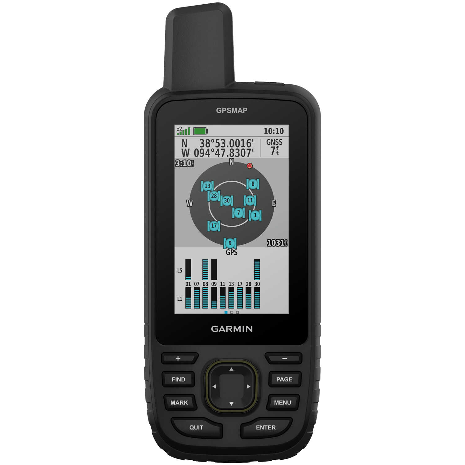
Explore the outdoors and stay on track with the GPSMAP 67. Multi-band technology and expanded GNSS support deliver superior accuracy even in challenging locations such as steep country, urban canyons, and forests with dense trees. The GPSMAP 67 also features a 3-axis compass and barometric altimeter. This premium, rugged handheld is packed with navigation sensors, routable TopoActive mapping, and access to satellite imagery. Pair it with a compatible smartphone to access active weather forecasts, Geocaching Live, and the Garmin Explore™ app for trip planning and more. The large 3" sunlight-readable color display allows for easy viewing. Includes Type-A to Type-C USB cable, carabiner clip, and documentation.
Warning: Cancer and Reproductive Harm P65Warnings.ca.gov
Have A Question?
Quick Specs
| Brand | Garmin |
| MPN | 010-02813-00 |
| UPC | 753759308698 |
| UNSPSC | 52161518 |
| Other |
Basemap: Yes. Preloaded Maps: Yes (TopoActive, routable). Waypoints: 10,000. Track Log Points: 20,000. Routes/Legs: 250. Waterproof Standard: IPX7. Battery: Rechargeable internal Li-ion. Battery Life: Default Mode, up to 180 hours; Expedition Mode, up to 840 hours. Memory: 16 GB (user space varies based on included mapping). External Memory Storage: Yes (32 GB max microSD™ card). Interface: USB-C. Display Size: 3" diagonal. Dimensions: 6.4"H x 2.5"W x 1.4"D. Weight: 8.1 oz.
|
Quick Specs
Related Products
Shop All Forestry EquipmentHave a question about this product?


